Drone Systems for Environmental Action
Compact, powerful, and integrated: Our drones deliver data that drives smarter ocean and coastal monitoring.
Aerial Monitoring with Purpose
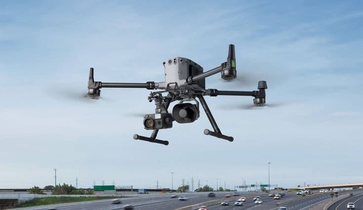
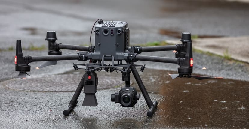
At Arias Tech, drones are integrated tools within a broader ecosystem of sensors, platforms, and analytics. Whether monitoring oil spills or assessing mangrove canopy, our UAV systems deliver critical data from hard-to-reach areas, fast and accurately. We work with a range of drone types, from long-range RTK platforms like the DJI Matrice 350 to compact quadcopters, tailoring each deployment to your mission, terrain, and budget. Connected to our EMS and AI platforms, these aerial systems turn real-time data into actionable insight, for conservation, emergency response, and environmental compliance.

Applications of Arias Drone Integration
Our drone integration provides precision monitoring across industries, delivering high-resolution insights from above:

Oil Spill Response
Detect surface slicks via thermal/multispectral imaging and confirm radar/SAR detections in real time.

Ecosystem Monitoring
Track mangrove canopy changes, monitor biodiversity, and verify restoration areas.

Search & Rescue
Deployable in harsh environments with live feeds for emergency coordination.

Coastal & Port Surveillance
Monitor vessel traffic, illegal fishing, or sensitive zones with thermal + RGB payloads.

Core Drone Technologies & Features
Advanced capabilities engineered for performance, autonomy, and seamless system integration.
Advanced Aerial Sensing Capabilities
We integrate multiple technologies (such as LiDAR, multispectral, and thermal payloads) to adapt to any mission requirement.
Extended Flight Time & Durability
Selected platforms offer up to 55 minutes flight time and operate in wind speeds up to 12 m/s.
AI & Big Data Integration
Live data streams directly into the Arias EMS Platform, where it is processed using AI for trajectory prediction, anomaly detection, and mission management.
Drone System Benefits
Unlock enhanced efficiency, safety, and data precision across every mission.
Mission-Specific Accuracy
From centimeter-level RTK mapping to wide-area visual surveys, we deliver precision where it matters
Payload Versatility
LiDAR, RGB, thermal, multispectral—select what suits your mission.
End-to-End Integration
All drone systems sync with Arias’ platform, sensors, and ground stations
Field-Proven Reliability
Deployed in marine, desert, and tropical environments with durable, autonomous features.
Our Partners
Trusted names we proudly collaborate with


Not sure which drone you need?
Drone Matching for Your Mission
Whether you need long-range thermal surveillance, compact drones for mangrove canopy inspection, or multispectral mapping over reefs we’ll recommend and integrate the right UAV solution for your application, budget, and terrain.
Ready to Elevate Your Environmental Monitoring?
Partner with Arias Tech to bring next-level aerial intelligence to your sustainability mission.
Talk to an Expert